

Plan your bike trip with us
Vail and Beaver Creek are an amazing locations for mountain biking as well as road biking. Miles of scenic trails are accessible on between Vail – Beaver Creek & Eagle. These trails will please any rider, no matter if you pro or beginner. Adventurous riders can always ride up the mountain, if you feel like riding only downhill, the Gondola will take you to the top. With plenty of trails for every type of bike rider, our mountains offer adventure, challenge, and enjoyment for families, first timers, experts, and everyone in between.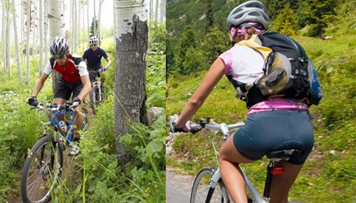
Our Recommended Mountain Bike Tours
Radio Flyer (Vail)
Take the Gondola or ride up Vail Mountain where an excellent downhill flow trail strat. The trail quickly leaves the ski area for the woods to the west, where you swoop down beams and hundreds of woop-dee-doos for a few miles. You can’t help but laugh out loud. Hit the dirt road, wipe the dirt-eating off your face.
TRAIL TYPE LENGHT LEVEL ELEV.GAIN
Single Track2.1 Miles Intermediate 750 Feet
Corkscrew (Beaver Creek)
Wanders back and forth across the ski run called Corkscrew and surrounding woods. Mostly rooty other Beaver Creek trails, and a little rockier, but mostly fine for intermediate riders.Tons and tons of wildflowers!
TRAIL TYPE LENGHT LEVEL ELEV.GAIN
Single Track1.9 Miles Intermediate1200 Feet
North Trail (Vail)
Start up an easy, smooth, gradual ascent up deep aspen forest. It’s thick and lush here with lots of wildflowers, and you can’t hear the highways, which is a nice bonus. It’s a good climb, but relatively easy for this area.
TRAIL TYPE LENGHT LEVEL ELEV.GAIN
Single Track4.4 Miles Intermediate 1291 Feet
Our Recommended Road Bike Tours
Around the town (Vail – Avon Edwards)
Winding down from East Vail the path crosses through Vail Village and then continues west down the valley through Dowd Junction, then onto Avon and Edwards. Eagle County offers 58 miles of paved recreational paths.
TRAIL TYPE LENGHT LEVEL ELEV.GAIN
Paved 58 Miles Any 929
Vail Pass Path (Vail)
Trail starts from East Vail to the top of Vail Pass with the elevation gain of 1,831 feet. For those who are not feeling up to the climb, shuttle a car to the top of the pass and enjoy the exhilarating ride down.
TRAIL TYPE LENGHT LEVEL ELEV.GAIN
Paved 8.7 Miles Intermediate 1831
US 24 to Leadville (Vail-Leadvile)
For more advance road cyclists, we recommend to try popular ride up old Miner town Leadville. Route include US 24 to Leadville and US 6 near Wolcott, just minutes from Vail.
TRAIL TYPE LENGHT LEVEL ELEV.GAIN
Paved 70 Miles Advance 2129
Check out what bikes and tours you can book with us